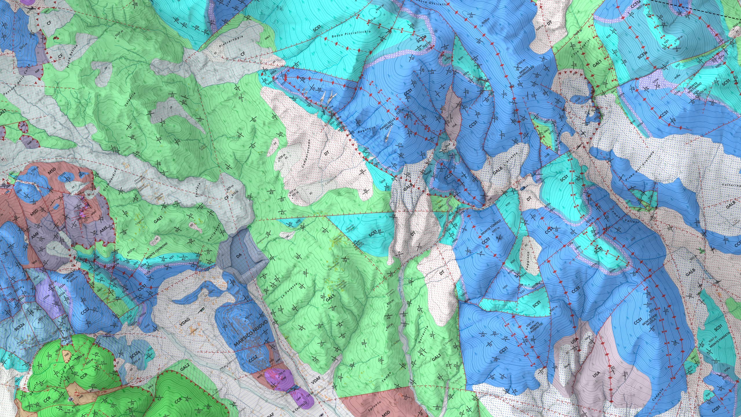
Val d'Agri Geological Map

Go to the WebApp DISCLAIMER: all of this project is based on data coming from this recent scientific paper, published in Sept. 2023 (Palladino, G., Prosser, G., Olita, F., Avagliano, D., Dello Iacovo, B., Giano, S. I., … Grimaldi, S.) The Val d’Agri 3D Geological Tour project is an interactive experience designed to explore the geology of the Val d’Agri region in Basilicata through an immersive three-dimensional map. This innovative tool allows users to analyze geological details of the area with a visual and dynamic approach, combining technical data with a clear and intuitive representation. ...
November 28, 2024

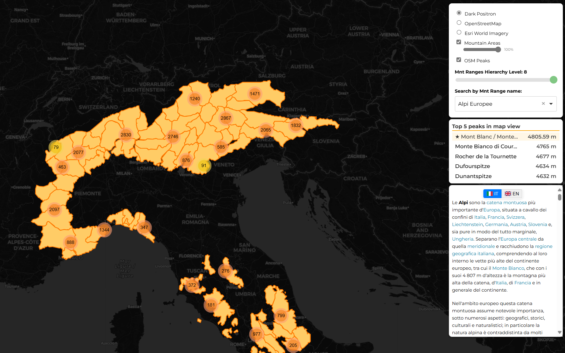
Italian Mountains Atlas

Go to the WebApp Italian Mountains Atlas A comprehensive interactive web mapping application focused on visualizing and exploring Italian mountain ranges and peaks. The project combines multiple data sources, including the GMBA Mountain Inventory and OpenStreetMap, to provide an intuitive interface for mountain exploration. Key Features Interactive Mapping Multiple base maps (Dark Positron, OpenStreetMap, ESRI World Imagery) Dynamic mountain range visualization with adjustable opacity Clustered peak markers with elevation data Responsive zoom and pan controls Mountain Range Classification Hierarchical filtering system for mountain ranges Custom hierarchy levels for detailed classification Interactive slider for hierarchy level selection Real-time filtering of visible mountain areas Search and Information Dynamic search functionality with auto-suggestions Detailed Wikipedia integration in both Italian and English Top 5 highest peaks panel showing peaks in current view Clickable markers with elevation and location details Purpose The Italian Mountains Atlas serves as an educational and reference tool for exploring Italian mountain geography. It provides a user-friendly platform for: ...

October 31, 2024

Your Post Title

welcome welcome welcome

January 31, 2024 · 1 min